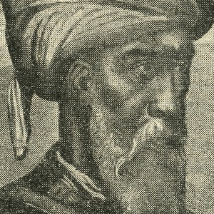
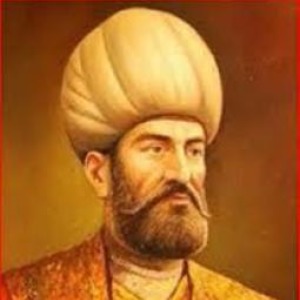
Sailor, cartographer (Date of birth and
death: 15th century,
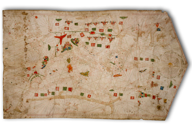
The Mediterranean map,
which was drawn on a piece of gazelle, in Tripoli in 1461 by Mürsiyeli İbrahim,
was designed to serve for navigation purposes. Whole Mediterranean, Aegean, and
Black See as well as coastal side of Western Europe and British Isles were demonstrated
on this map. This area covers among 27 degree-54 degree north latitude, 12
degree west, 42 degree east longitude. The cartographers who studied on the map
stated that accuracy of this work is surprisingly correct and its preciseness
particularly in the West-East direction deserves compliment. When compared to
recent maps, it is seen that majority of it is similar to the maps of our age. There
is, however, some degree of error in the coasts of the Sea of Azov and far
surroundings (for ex.,
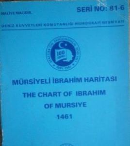
However, when the map of Mürsiyeli İbrahim was compared with contemporary Mediterranean maps drawn by Europeans, it is seen that maps originated in Europe did not reach same perfectness level. It was published by Presidency for Office of Navigation Hydrography and Oceanography upon the initiatives by the Institute of Science and Technology History (1981). The original of the map is exhibited in the Deniz Museum located in Beşiktaş, Istanbul. Moreover, there are several maps which were drawn long before Mürsiyeli İbrahim’s map and were not thoroughly and scientifically examined in Topkapı Museum. There is anticipation that inspections to be carried out on these maps will reveal the success of the Turkish- Islamic world on cartography.
KAYNAKÇA:
Dr. Doğan Uçar / “Mürsiyeli İbrahim’in 1461 Tarihli Haritası Hakkında Bir
Araştırma” (Tebliğ, İTÜ - 1. Uluslararası Türk-İslam Bilim ve Teknoloji Tarihi
Kongresi, 14 Eylül 1981), Abdulhakim Koçin / Çağını Aşanlar (Bilim ve Teknik,
Temmuz 1991), İhsan Işık / Ünlü Bilim Adamları
(Türkiye Ünlüleri Ansiklopedisi, C. 2, 2013) - Encyclopedia of Turkey’s Famous
People (2013) - Resimli ve Metin Örnekli Türkiye Edebiyatçılar ve Kültür
Adamları Ansiklopedisi (C. 12, 2017).